
The Burning Forests of Alaska
Alaska Summer Research Academy Module for Middle School Students
The Alaska Reburns project led a module with the Alaska Summer Research Academy for two weeks in July of 2019. This module was targeted at middle school students and focused around the theme of boreal forests and wildfires. We had nine students participate in the module and used a combination of interactive activities and field trips to learn about fires in Alaska and how we can measure their effects in the boreal forests around Fairbanks, AK. Many of the students were from the Fairbanks area.
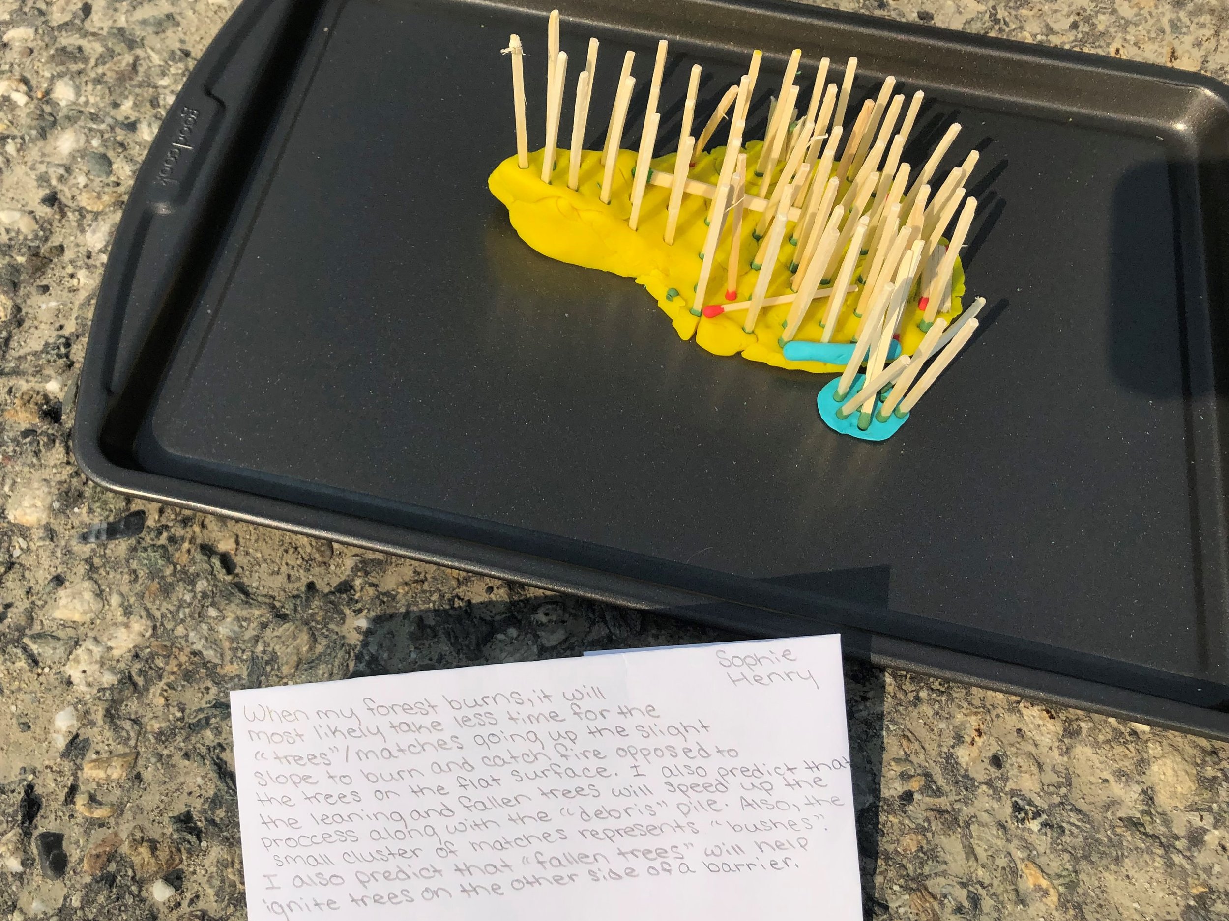
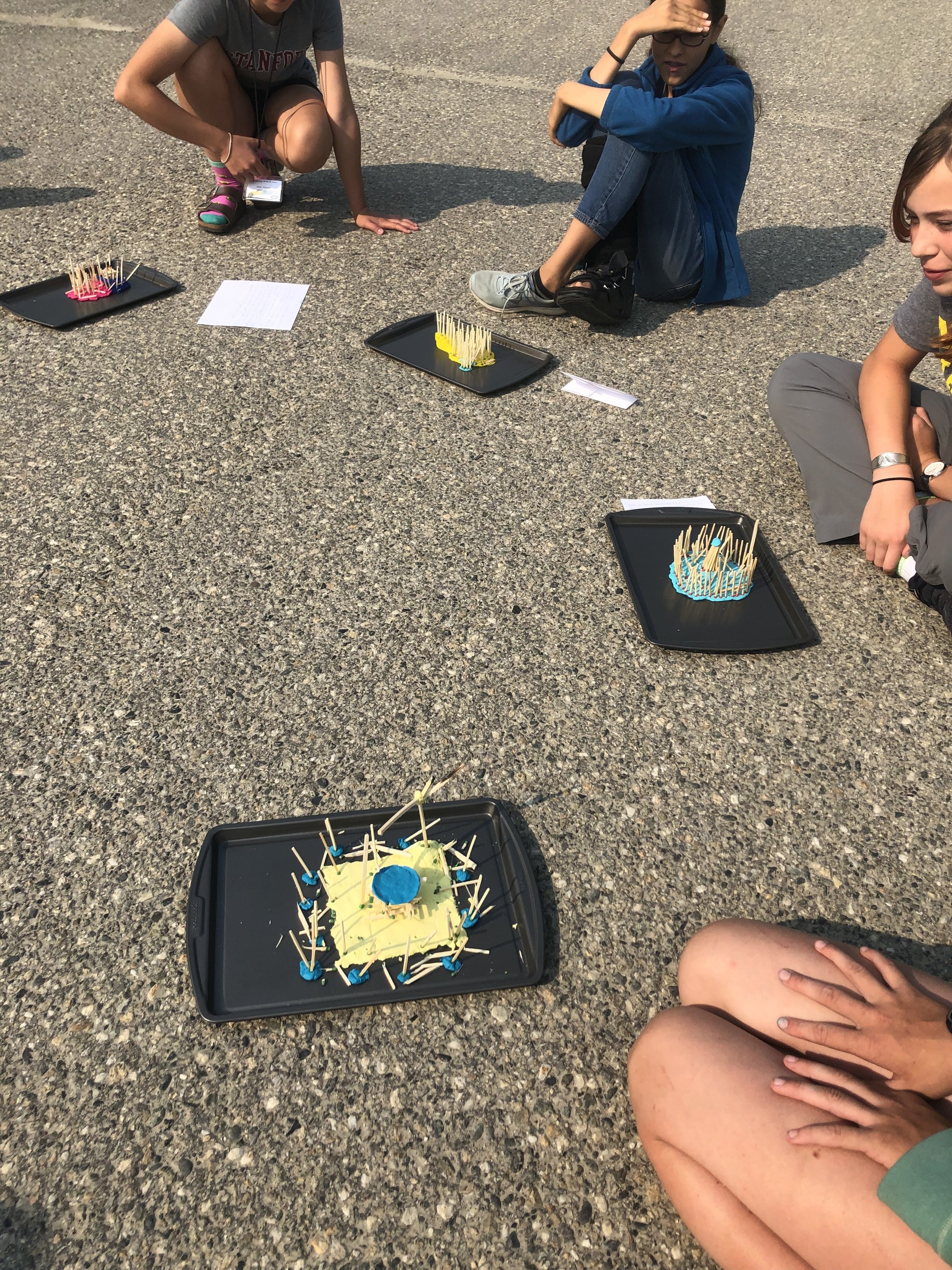
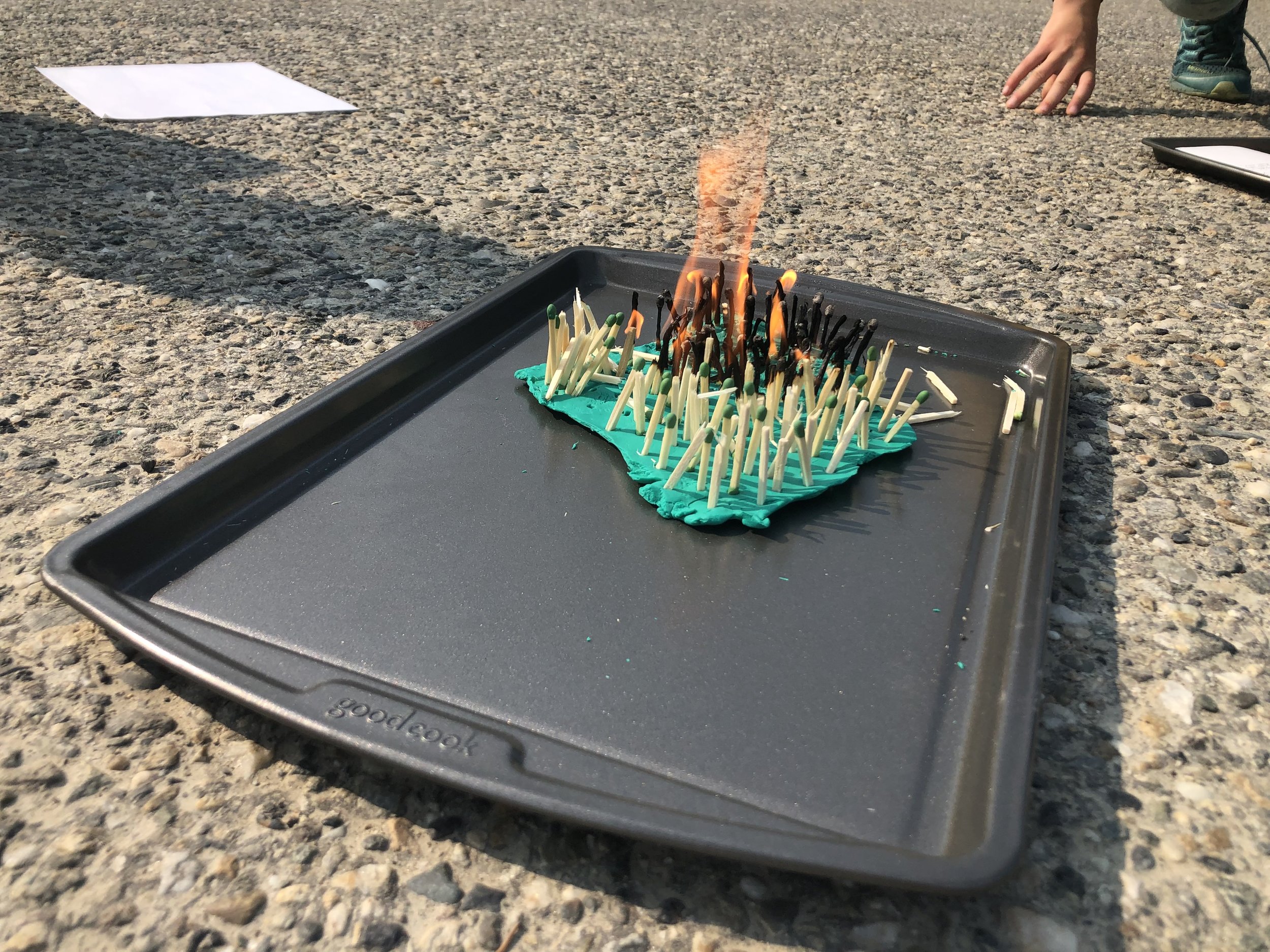
During the first week we talked with students about fire behavior and adaptations that plants have to wildfires. One of our first activities was creating our own matchstick forests. Students built up the topography of their personal landscape with Play-Doh, then populated it with ‘trees’ using matchsticks. Students made predictions about how their landscape would burn and then we tested their hypotheses outside in a parking lot.

Our first field trip with the students was just outside of Fairbanks to the 2013 Skinny’s Road Fire along the Parks Highway. Here we learned about how we can measure vegetation following a fire. We had our hands full with lots of young aspen!

Things became really smoky in Fairbanks during the first week of ASRA, limiting our ability to spend time outside on a couple of days. Air quality was rated as hazardous over several days of the program due to all of the fires burning in interior Alaska.
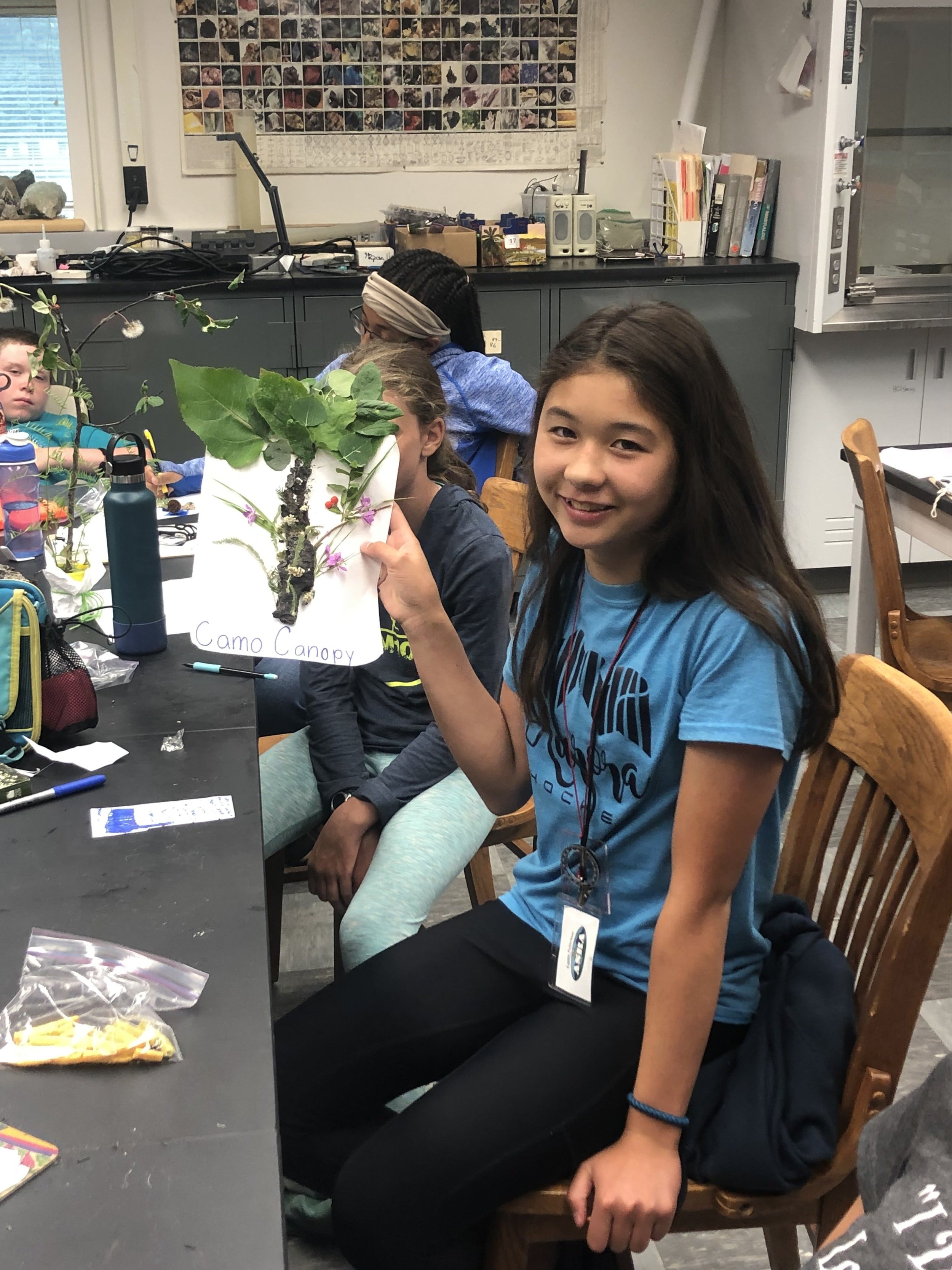
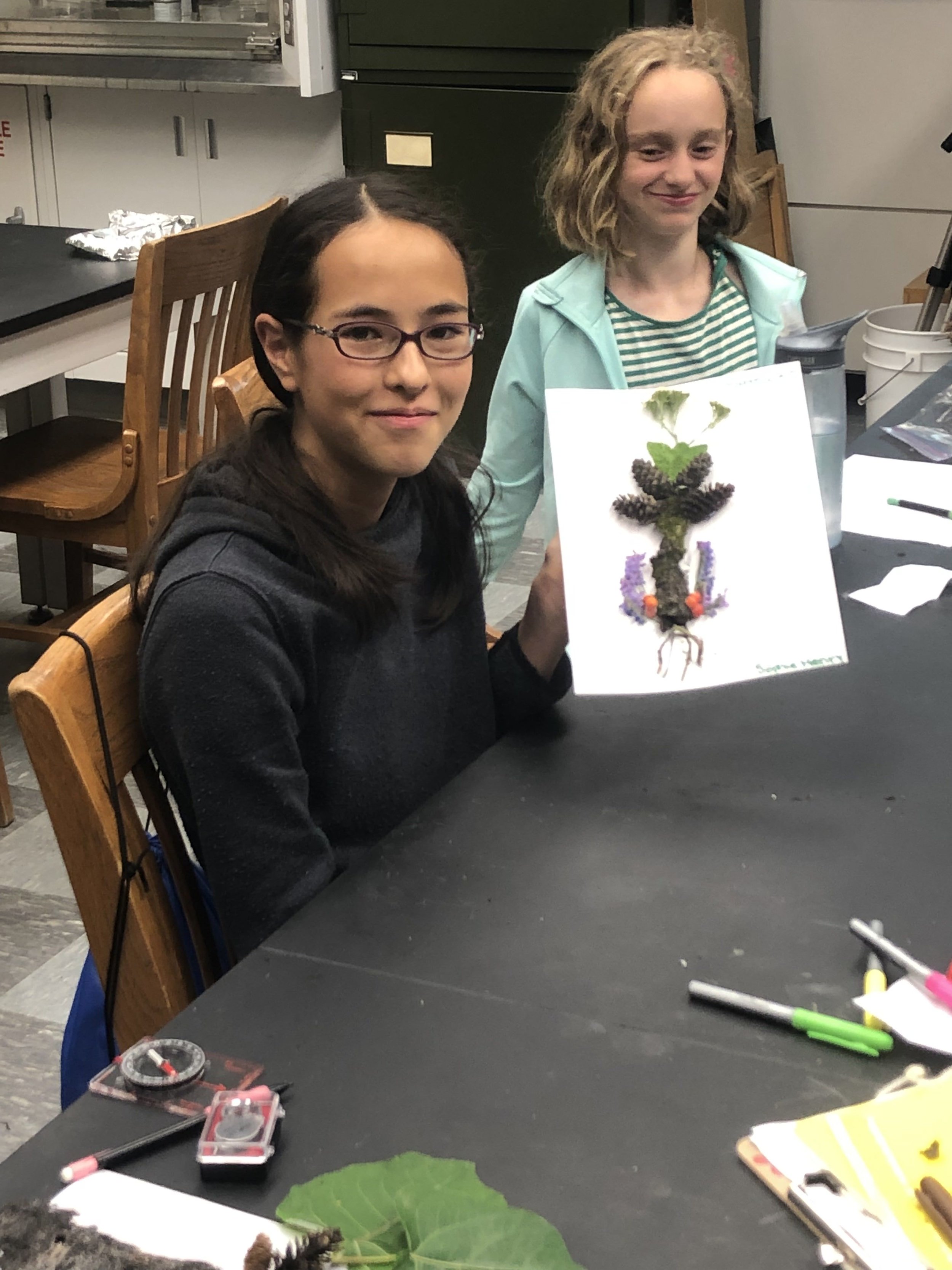
We learned about some of the adaptations that plants have to help them survive or reproduce after a fire. Then students designed their own plants with unique sets of adaptations to fire and other environmental conditions.


Dr. Santosh Panda from the University of Alaska - Fairbanks led a remote sensing mini-course for the students. They learned about how we can ‘see’ through the smoke on satellite imagery of a fire event by changing the bands using a Geographic Information System. This was followed by geocaching around campus. Some of the geocaches were particularly well-hidden!

We also had the opportunity to visit Vis Space on UAF’s campus. Students each had a turn visiting different places on the planet through Virtual Reality!

Over the weekend following our first very smoky week, the region got some much-needed rain which helped with the smoke and air quality. We were able to go on field trips to the Caribou Poker Creek Research Watershed to learn more about how we can study places that have burned recently. The Boundary wildfire at Caribou Poker Creek burned in 2004.
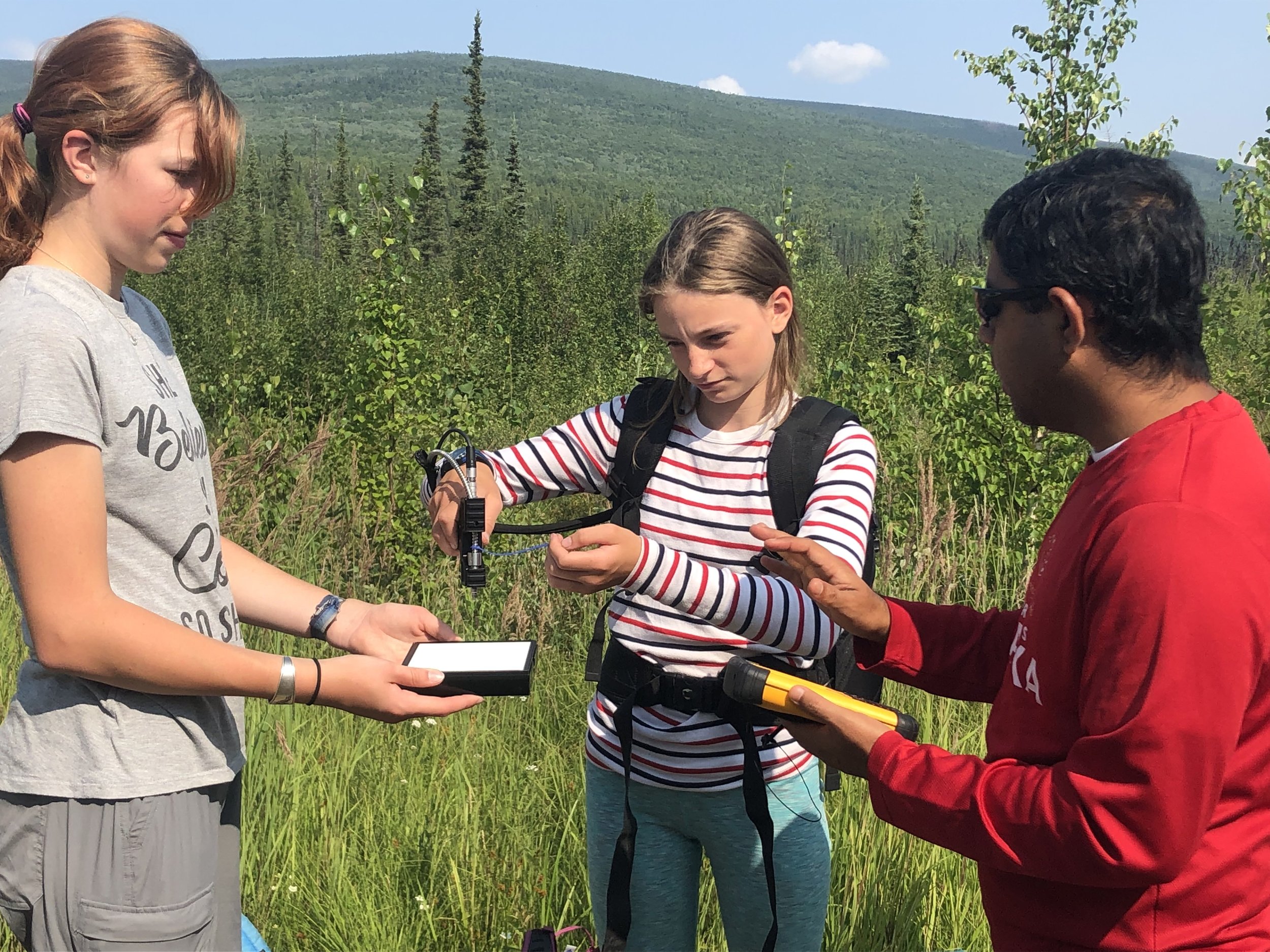
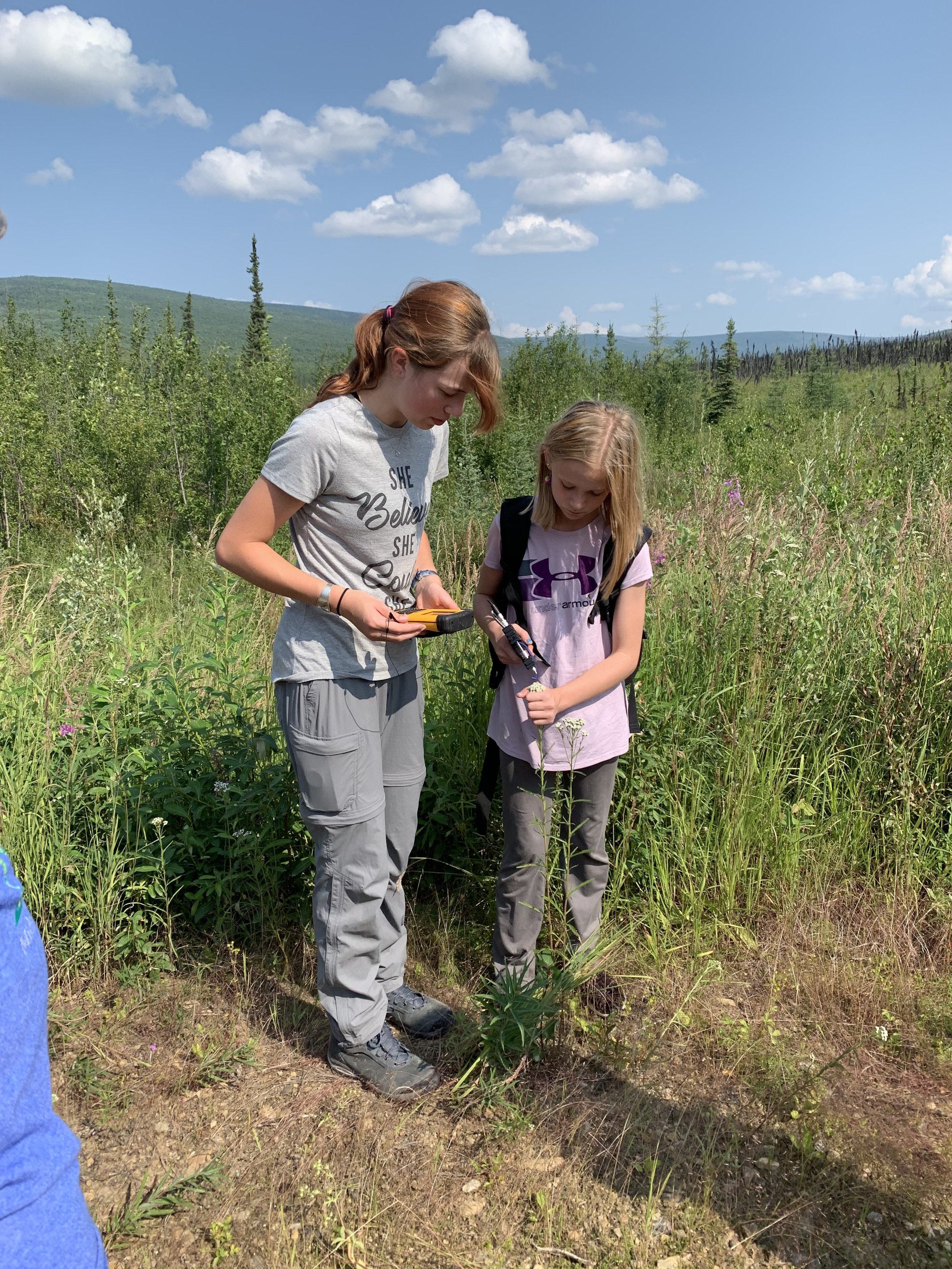
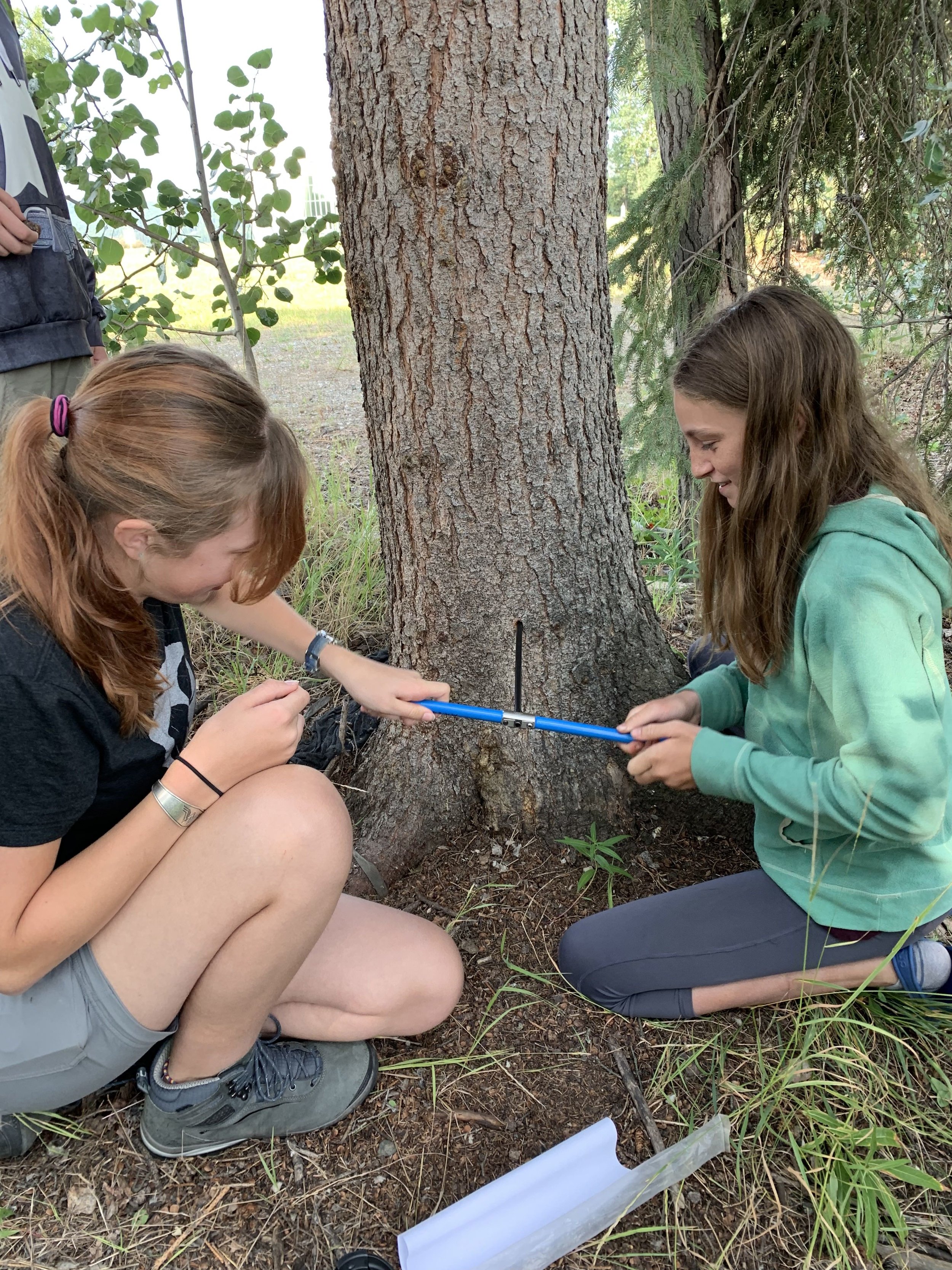
Dr. Panda came with us out into the field to show us how you can measure spectra of different types of vegetation. This can be useful to improve remote-sensing efforts of vegetation in the region. Students donned a backpack connected to the device to measure spectra. The first step (shown on the left above) is to measure the spectra of a white surface under your current light conditions. This ‘zeros’ the scale for you to then take measurements of vegetation, like fireweed (shown on the right above).
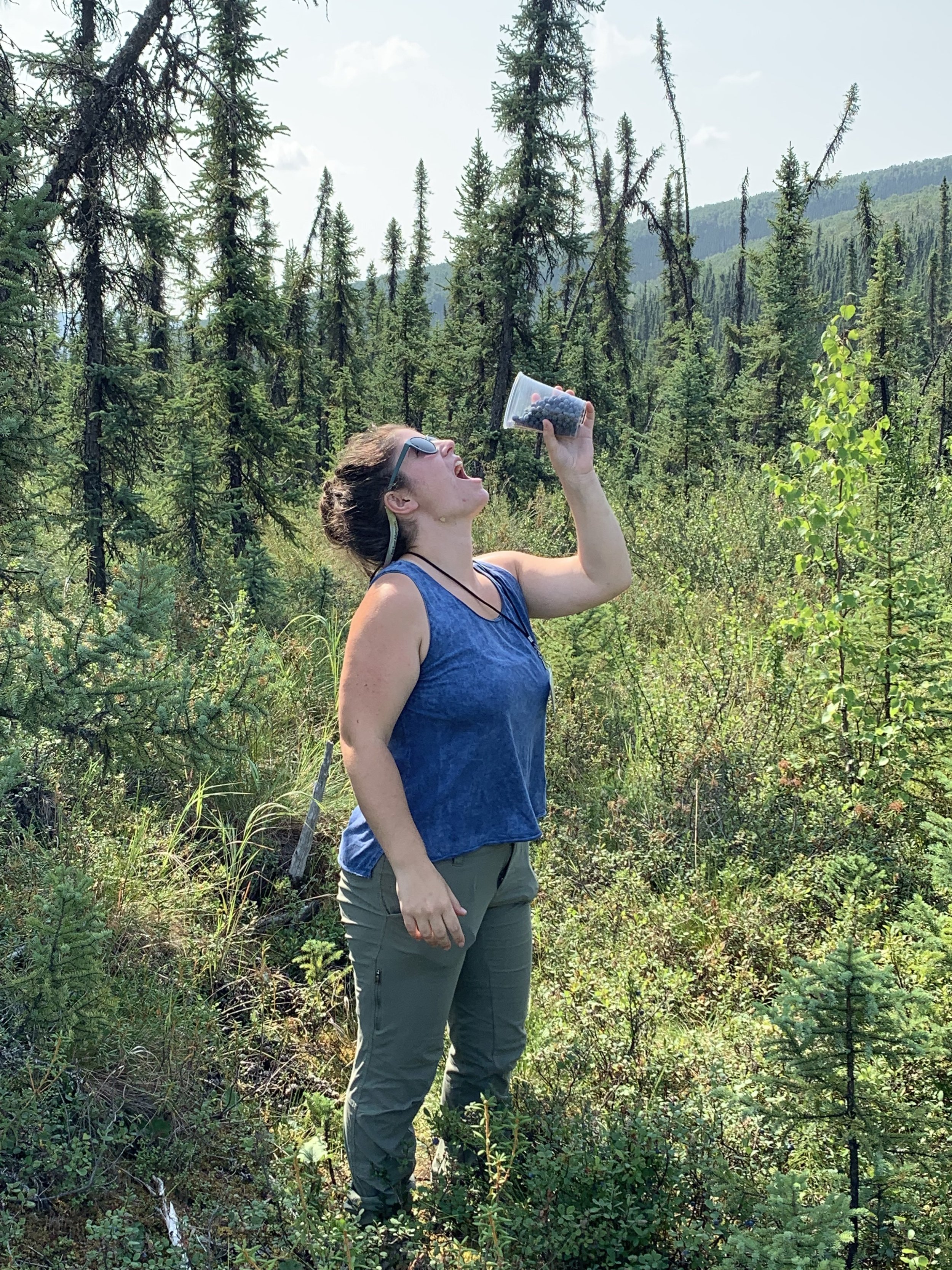
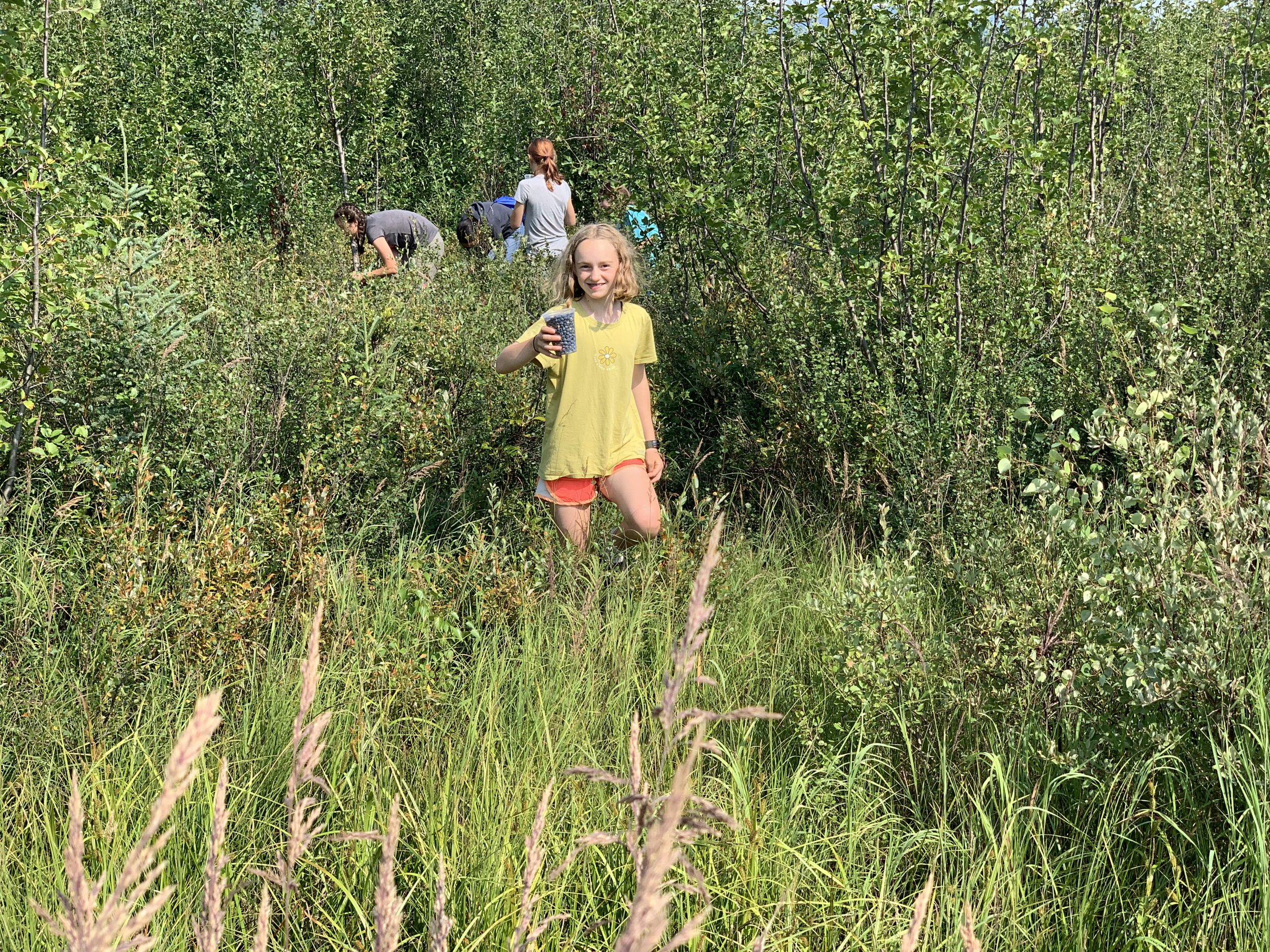
Berry picking was excellent at many of our field trip sites, so we took advantage! Instructor Kara (on the left above) demonstrates how plentiful the blueberries were at this site!
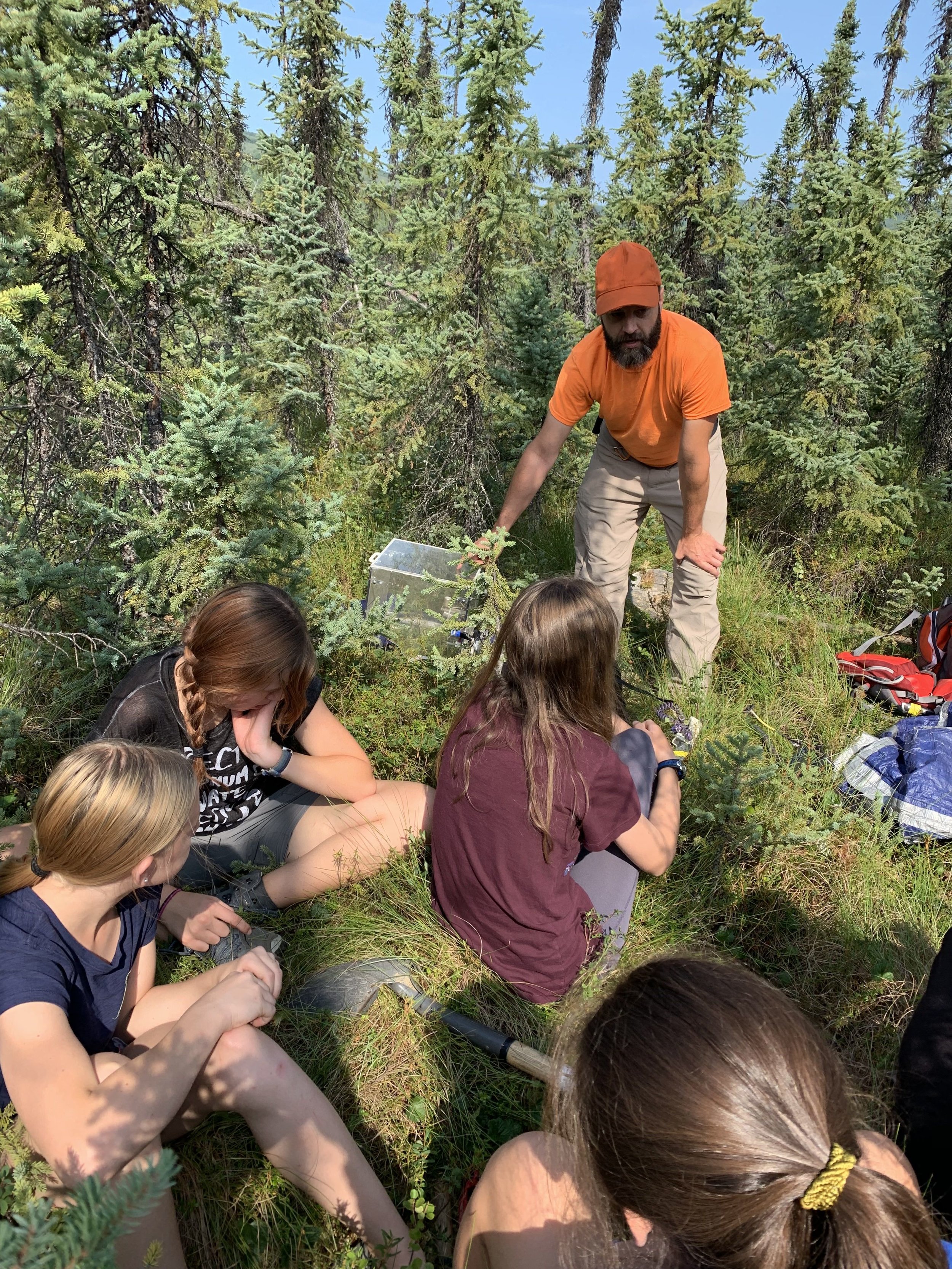
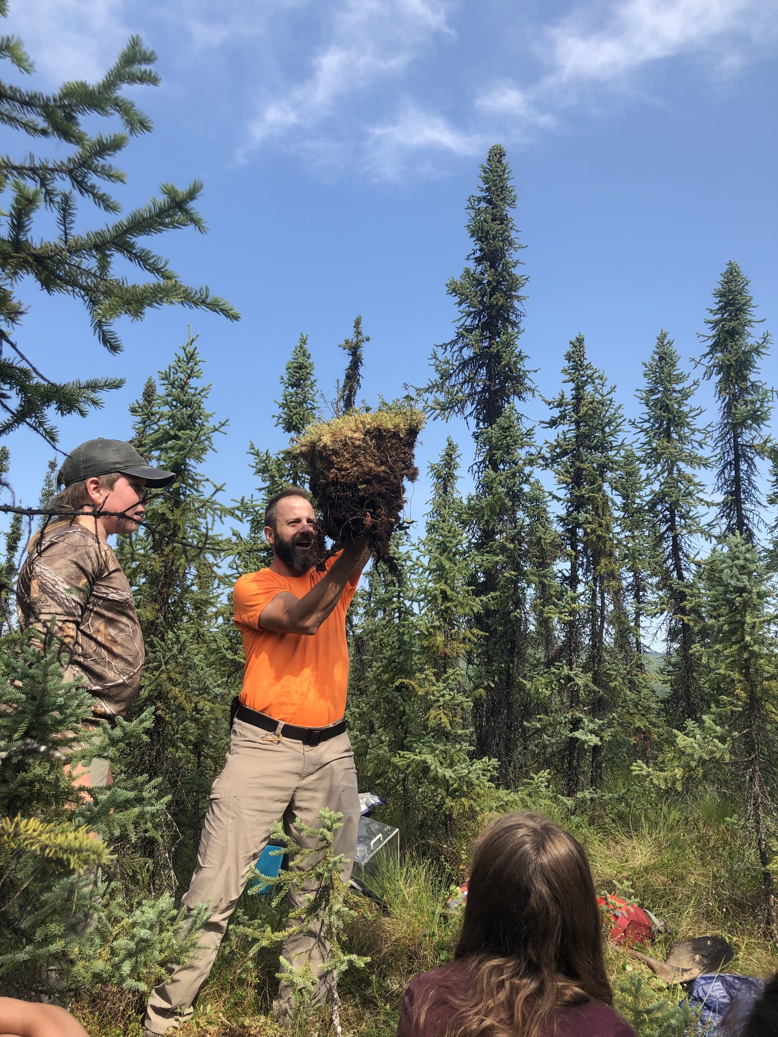
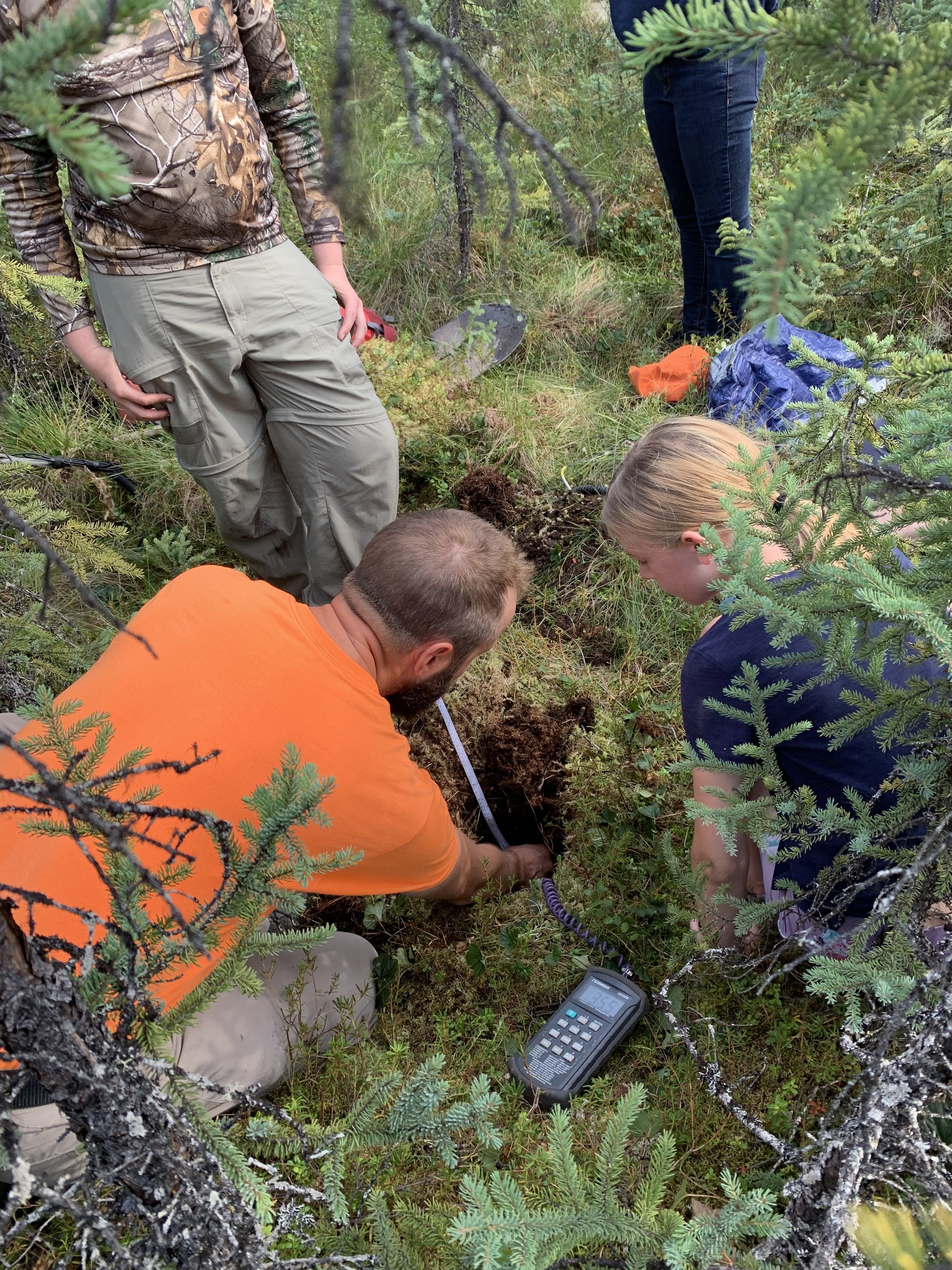
Alaska Reburns post-doc, Dr. Jason Shabaga joined us in the field to talk to us about boreal forest soils and how he measures soil respiration, soil tempature, and soil moisture. We had a blast digging soil pits and comparing areas that had burned more recently to those that had not burned in 60+ years.
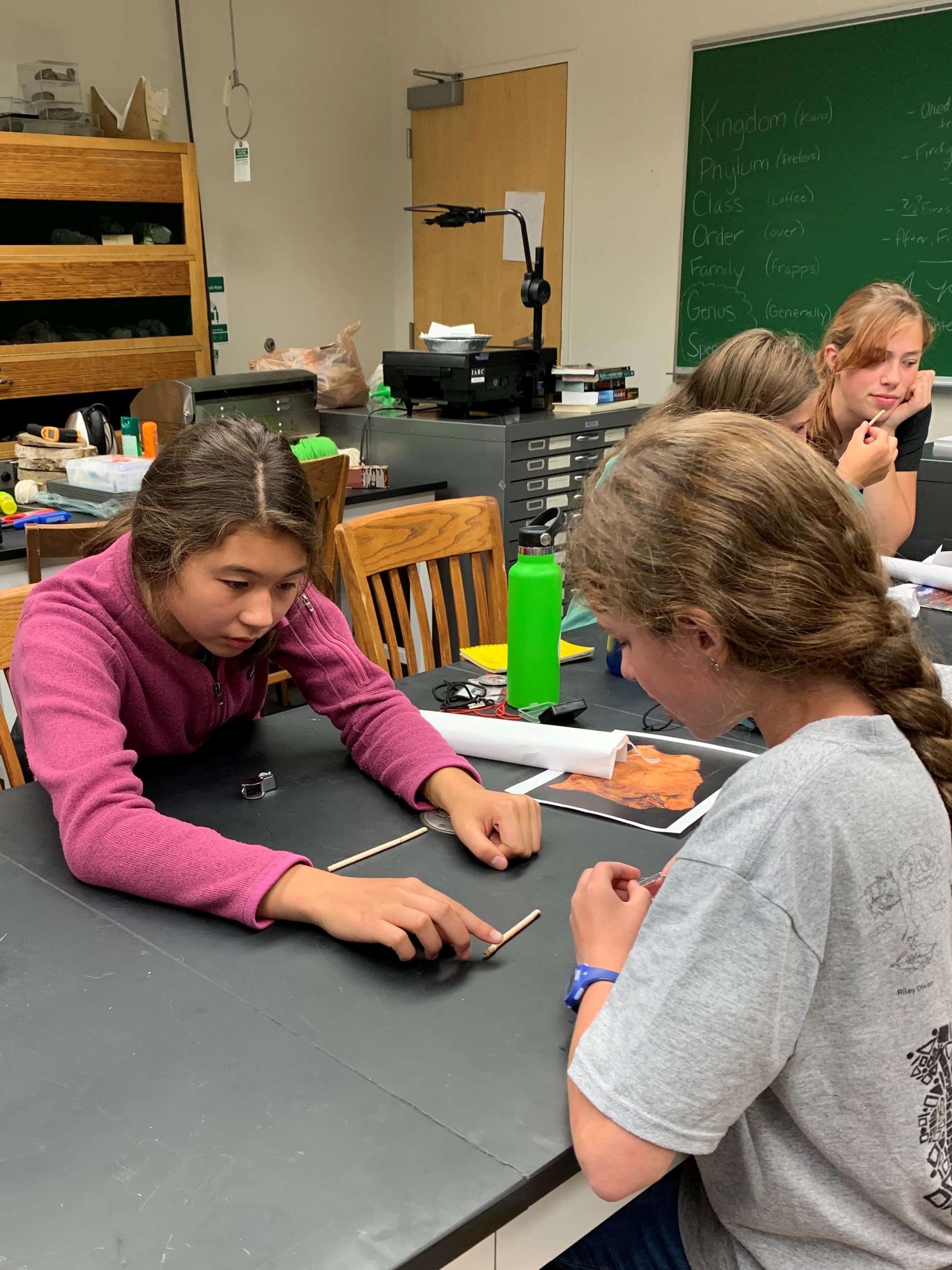
We wrapped up our week learning about how we can look into a forests’ past by taking tree cores to assess age and by looking at tree ‘cookies’ to reveal scars of past fires.